
Aplitop TcpGPS
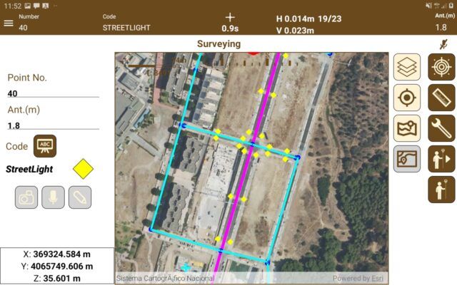
How do you collect data With Aplitop TcpGPS android software
Setting up Tersus Oscar RTK GNSS receiver to work with Aplitop TcpGPS Software
Aplitop TcpGPS Specifications
| Version | Basic, Advanced |
|---|---|
| Operating system | Windows, Android |
TcpScancyr
Analysis of tunnel data captured by terrestrial scanner
This powerful application calculates tunnel cross sections for roads or railways, based on laser scanner data.
Starting from the point cloud, cross sections are calculated, which can be modified by a powerful editor. They can be displayed in 2D or 3D, showing the infra and over-excavation zones, and can also be exported to DXF, with multiple customization options.
The program also generates other results such as area and volume reports, deviation of the real alignment, inspection map, orthoimages and video simulation of the tunnel.
